15 cm-RESOLUTION imagery from space
a constellation built for monitoring

Clarity
15 cm-resolution imagery means
the difference between speculating
and knowing

Currency
Re-imaging any global location as
frequently as every 10 minutes
offers real-time information

Capacity
The ability to image over 10,000
areas of interest per day provides
assured imaging opportunities
With a fully operational constellation of 60 satellites
“Current imaging systems are built to excel at either resolution or frequency of revisit.
EOI Space will be the first to operate a fully agile constellation that delivers the best of both—while also increasing overall capacity.”

David Gauthier
Former Director of NGA Commercial Operations
Powerful imagery on your terms

Flexible tasking
Get the image you need, when you
need it, whether you’re seeking an
image at a precise time or
monitoring a location

Secure access
Tap into the constellation via your
own on-premise facility, a private
cloud, or the EOI Space imagery
portal

Customized privacy
You decide if and when imagery you
task is released into EOI Space’s
public library or stays private
Taking the orbit less Traveled
Using proprietary technology, EOI Space’s Stingrays will be the first U.S. commercial satellites to fly in Very Low Earth Orbit (VLEO)—an altitude half that of others. While VLEO brings many benefits like higher resolution and virtually no risk of on-orbit collision, it also brings unique challenges. To tackle these challenges, we have developed novel solutions that ensure the successful deployment and maintenance of a resilient, persistent constellation of 60 Stingrays.
EOI Space electric propulsion testing (2022)
Electric propulsion
Our patented propulsion system is designed to maintain agile orbits at an altitude of 250 km for at least five years, and has been tested with cooperation from the U.S. Air Force.
Spacecraft design
We’ve patented a standardized VLEO-specific satellite that features a more aerodynamic bus, extended solar arrays, the highest-speed radios, and enhanced drag-resistant materials.
Edge computing
On-board super compute drastically improves latency by processing imagery before it’s downlinked directly to users, and enables automation and AI-generated analytics—from Space.
Imagery specifications
- Panchromatic: 450 nm - 800 nm
- Blue: 450 nm - 520 nm
- Green: 520 nm - 600 nm
- Red: 630 nm - 690 nm
- Near Infrared: 760 nm - 900 nm
Revisit Rate
Imagery less than 26° ONA
Imagery less than 48° ONA
Imagery less than 70° ONA
Advancing Earth Intelligence
EOI Space is an American company on a mission to equip our customers with the actionable information they need for better outcomes, globally and persistently.

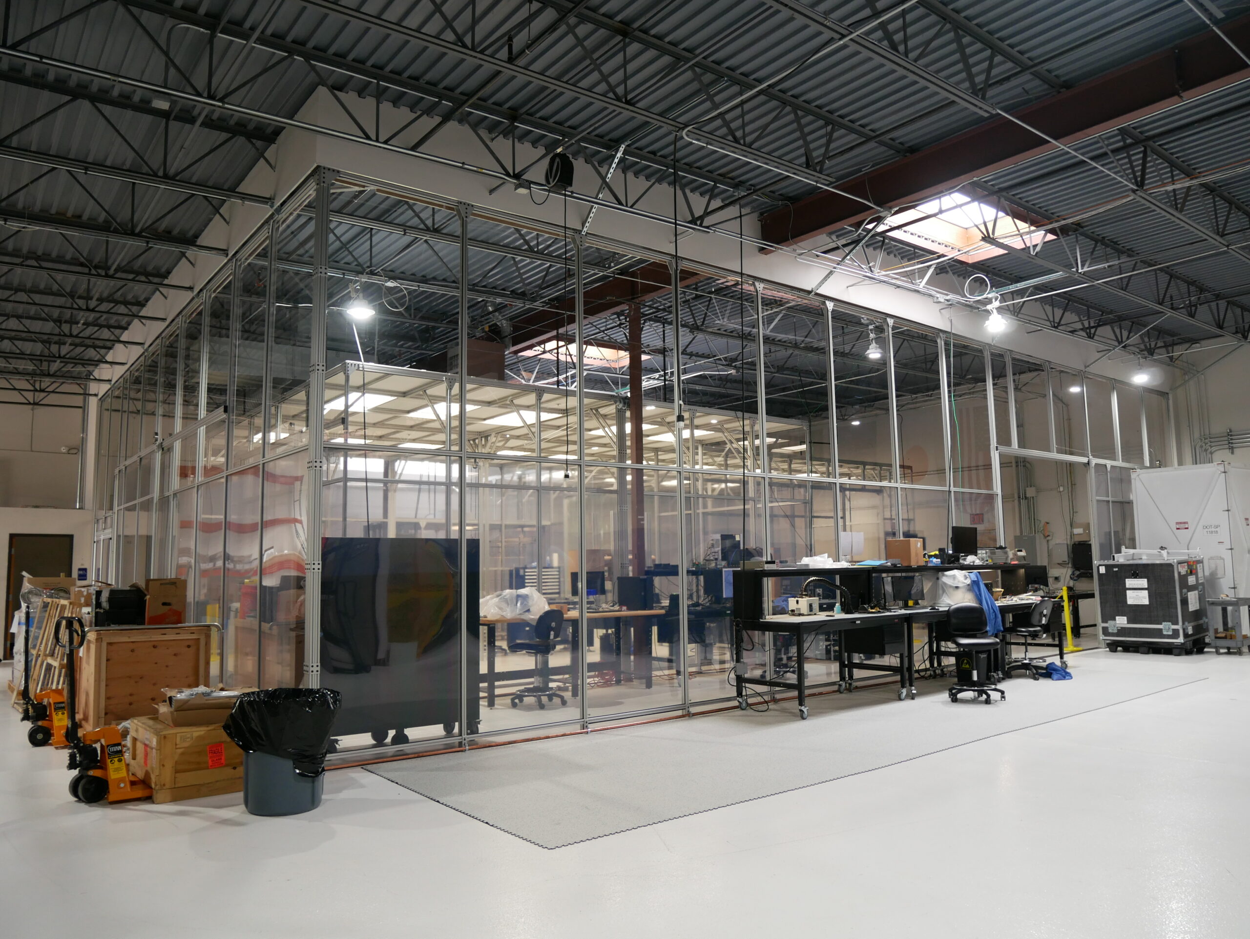
The clean room at our headquarters in Louisville, Colorado

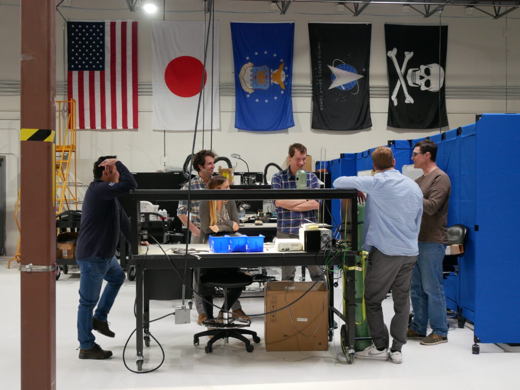
The team running analysis in our manufacturing facility

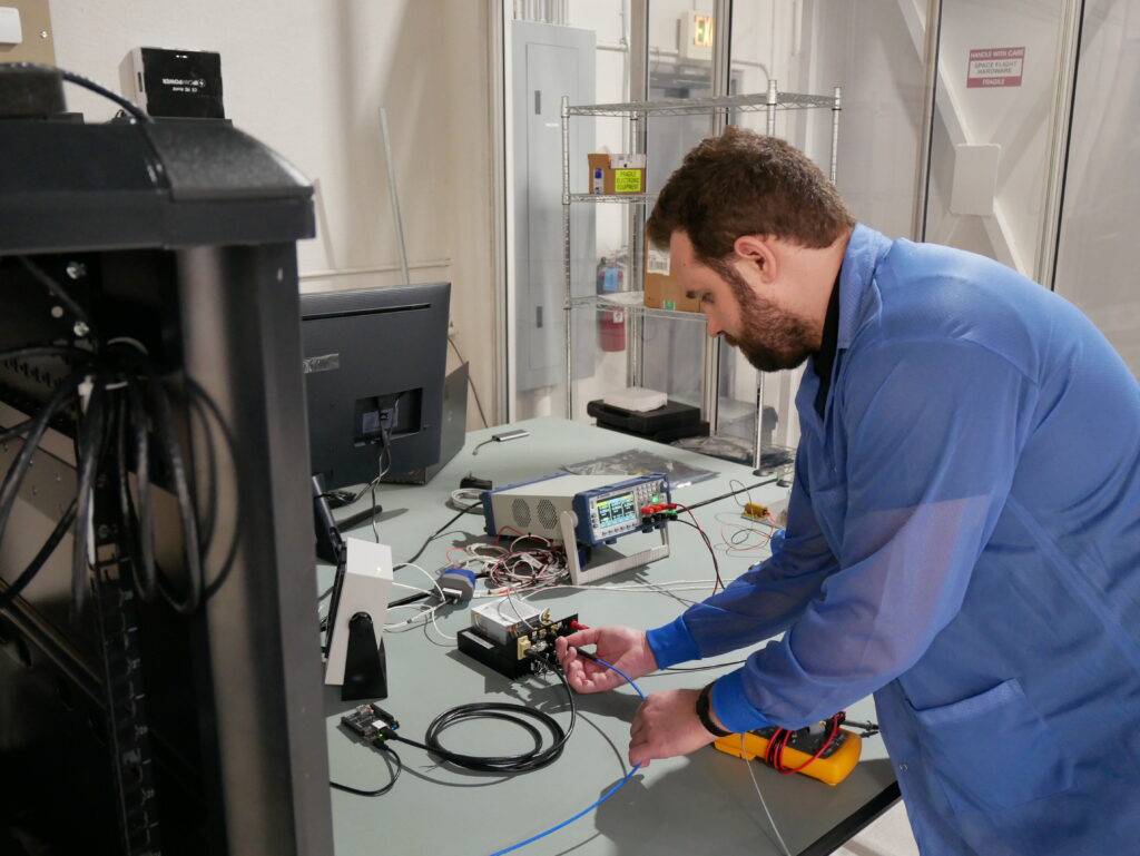
Testing key spacecraft components upon delivery
Newsroom
Read about our latest news + notable industry articles
April 2, 2024
Field-Proven Fluid Control Products Help Propel EOI Space Into VLEO
December 22, 2023
Video: Geospatial World interview with EOI Space CTO, Dr. Benjamin Tuttle
September 21, 2023
EOI Space to Deliver the Highest Resolution Satellite Images on the Market with FilmDrop
September 2, 2023
Rock West Composites Delivers Space Telescope Structure to EOI Space
August 7, 2023
On-Orbit GigRouters Enable Faster Data Throughput
July 7, 2023
EOI Space Ranks 38th on SVDG’s NATSEC100 List
June 28, 2023
EOI Space Receives Two Key Technology Patents
May 25, 2023
Meet EOI Space’s Strategic Advisors
May 23, 2023
EOI Space is Selected for $1.75M TACFI Award
May 21, 2023
Video: Project Geospatial Interview with EOI Space CTO, Dr. Benjamin Tuttle
EOI Space Signs Multi-Launch Extension with SpaceX
December 15, 2022
SpaceNews: EOI Space forges equity and sales pact with Japan’s NTT Data
December 14, 2022
Forbes: Satellite Imagery Startup EOI Space Has Crossed the Valley of Death by Flying Low
November 29, 2022
NTT DATA Joins EOI Space’s Global Alliance Program
September 14, 2022
Earth Observant Inc (EOI Space) Inks Deal with SpaceX
June 21, 2022
Earth Observant Inc (EOI Space) Unveils Re-Branding to Align with Company’s Mission and Accelerated Growth
September 17, 2020
EOI Space Successfully Tests Next-Generation Propulsion Technology to Support Very Low Earth Orbit Missions
Senior Leadership Team
BACKED BY INDUSTRY-LEADING EXPERTS
Join our team of innovators
We’re on our way to achieving many industry firsts. This demands an ambitious team that revels in leaning into challenges, getting hands on, and working together. Does this sound like you? If so, let’s connect!


